The trail info on this page is work in progress and will be updated regularly. Ultimately it should provide detailed trail information, including practicalities (transport, accommodation, guiding services) and maps with lots of geographical names and features.
-WARNING: TREKKERS ATTEMPTING TO HIKE THE PAMIR TRAIL DO THIS AT THEIR OWN RISK. MOUNTAIN TERRAIN AND WEATHER CHANGE ALL THE TIME AND TREKKERS SHOULD BE PREPARED FOR THE WORST CONDITIONS. IF IN DOUBT, TURN BACK IF YOU CAN-
THE PAMIR TRAIL
Start and end: Shing - Vrang
Distance: 1297 km
Elevation gain: 63,350 m
Stages: 79
GPX file for the full Pamir Trail
Video of the full length of the Pamir Trail in 3D
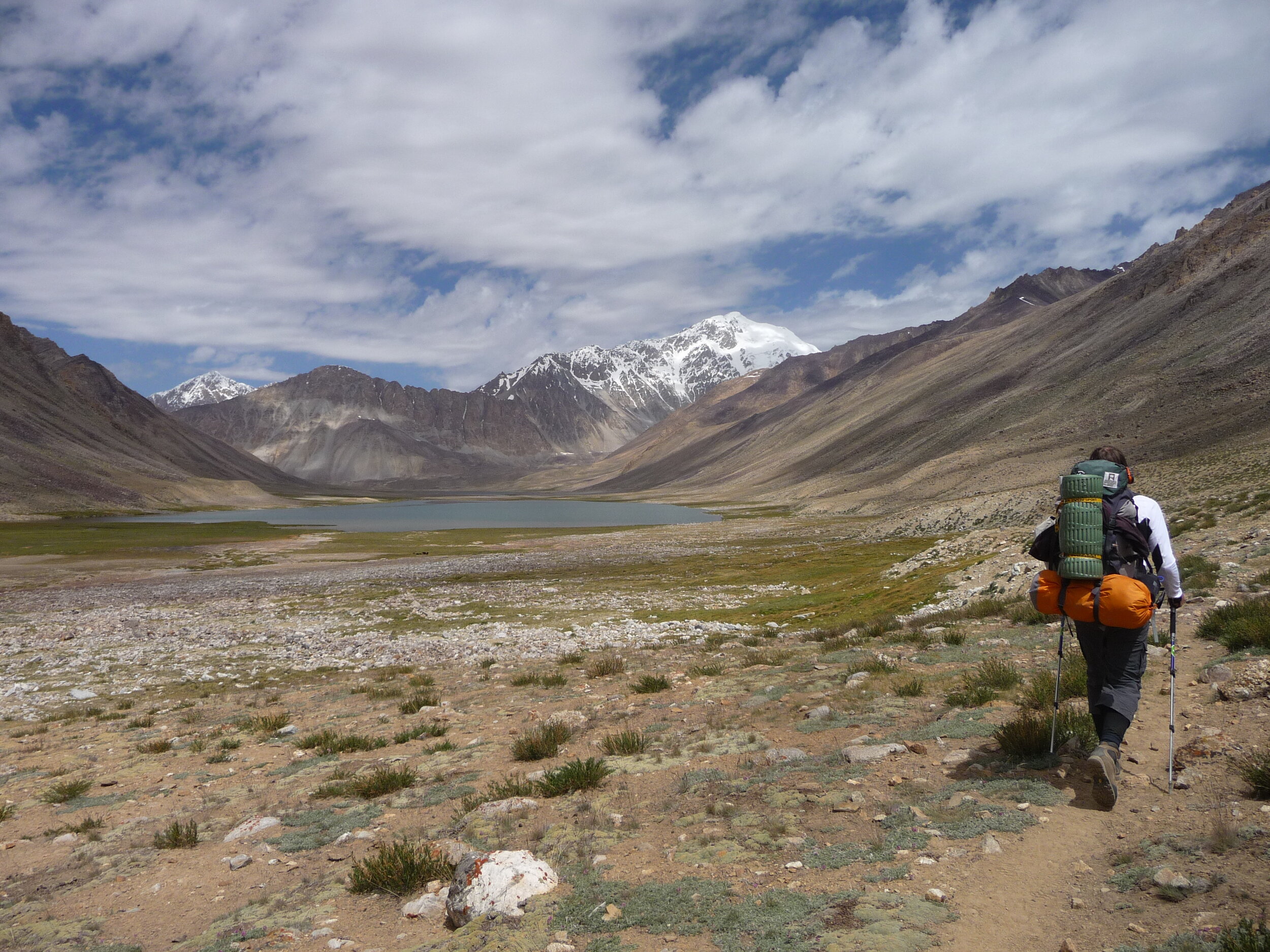
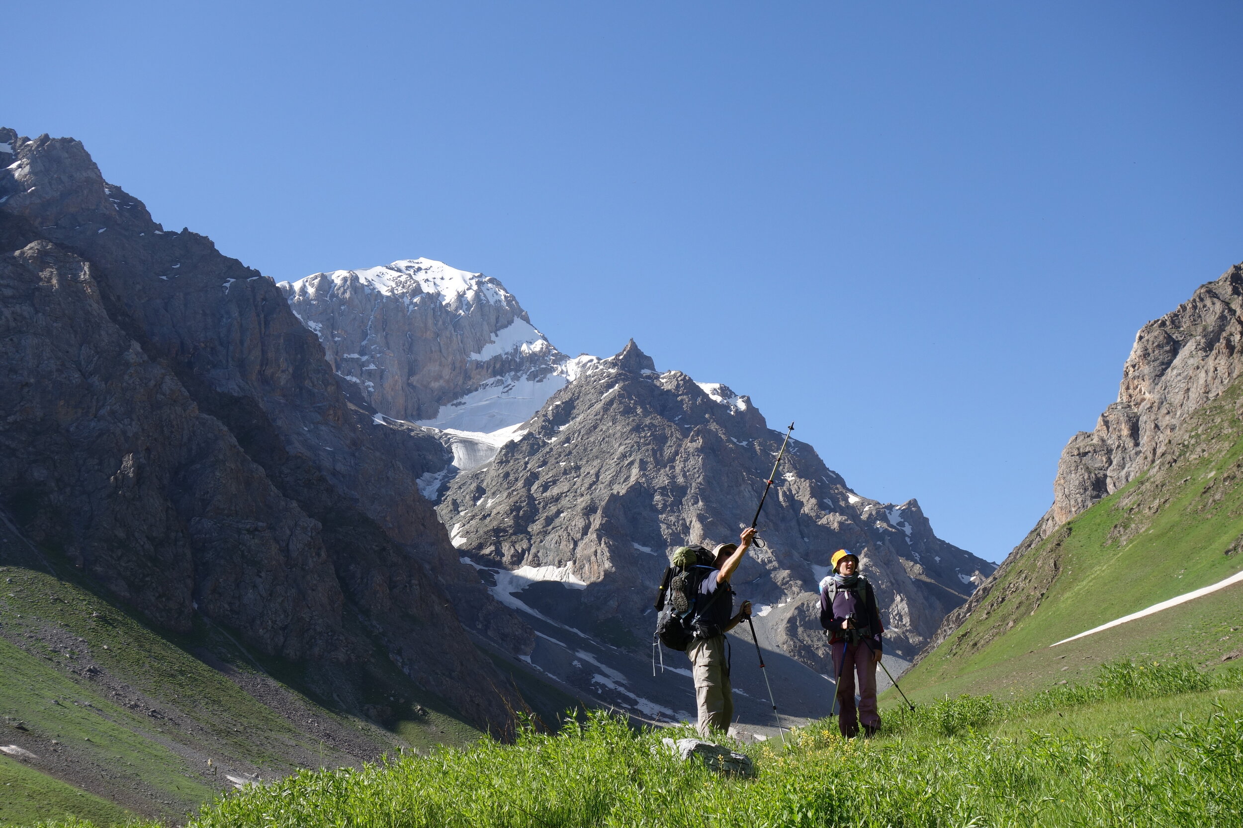
In 2024 we established the first full version of the Pamir Trail! This means it is possible to hike the entire length the route, nearly 1300 kilometres in total with an elevation gain of 63,350 metres. But we keep looking for alternative routes, as the state of the terrain changes all the time. The current complete version of the Pamir Trail is shown on the map below. It gives you a sense which mountain ranges the trail passes across Tajikistan. It also shows the 9 different colour coded sections of the route.

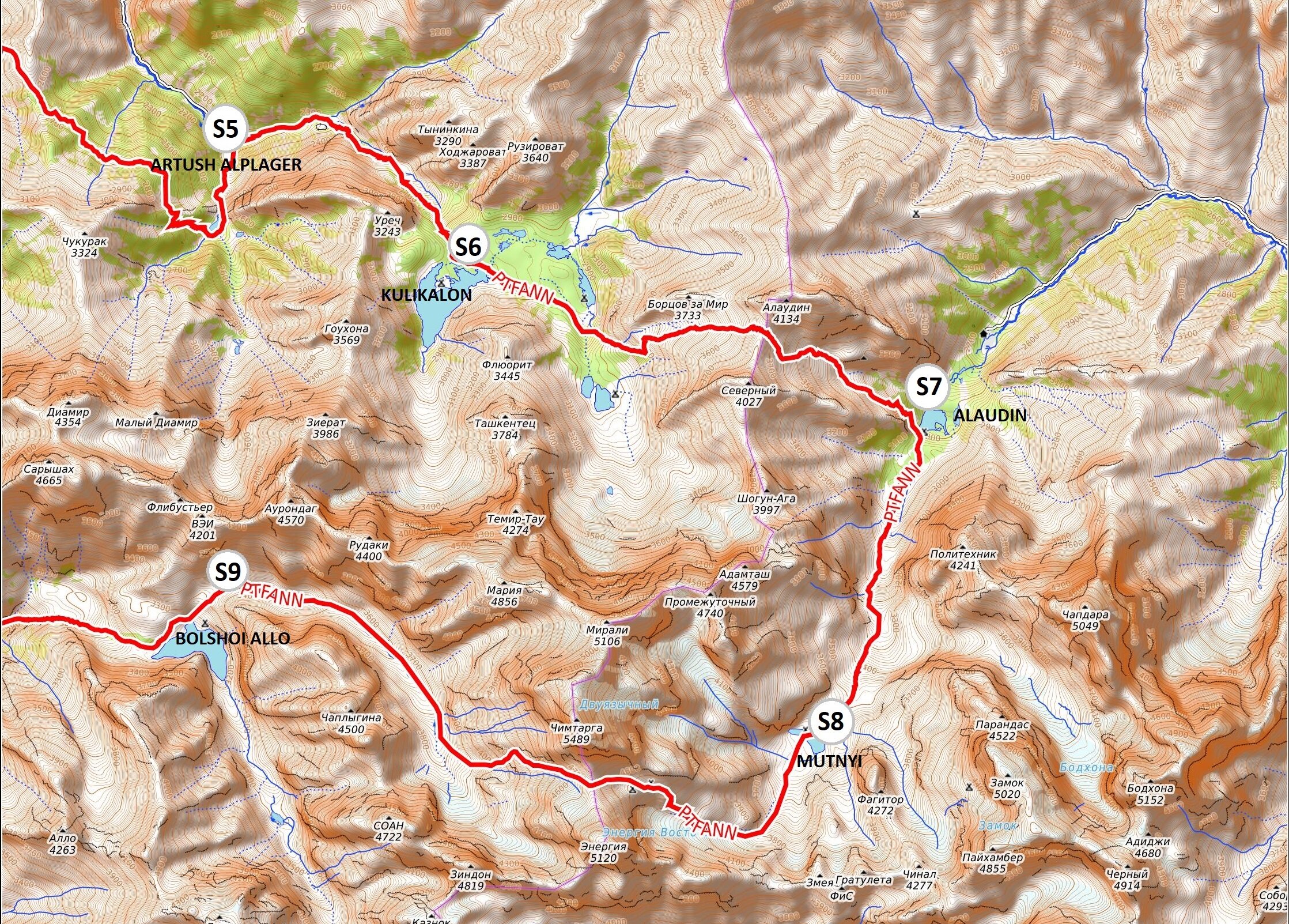
SECTION 1: FANN MOUNTAINS
Shing - Saratoq * 153.6km * 11 stages * highest point Chimtarga Pass 4750m *
* tour operators * trail beta stage 1-11

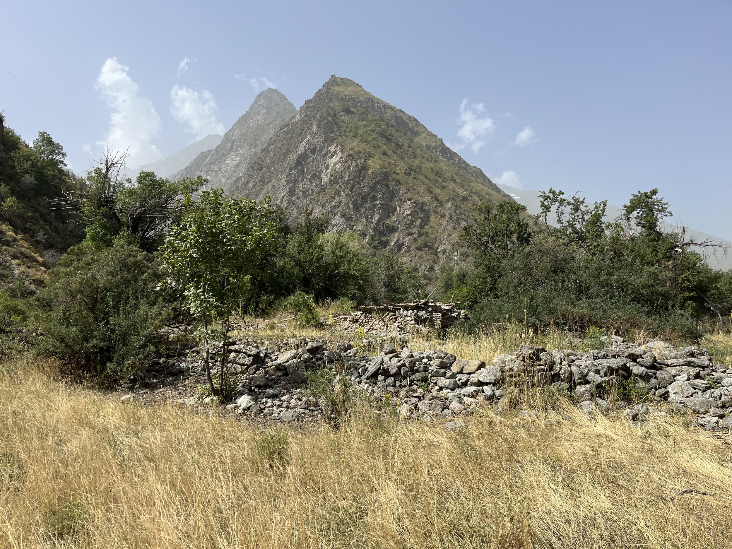
Marghuzor Lake, near Padrud - pic: J. Bakker
Stage 1: Shing - Padrud
Distance: 16.2km
Ascent: 800m
Descent: 342m
Trail: easy - dirt road

Tovasang Pass, 3305m - pic: C. Oriol
Stage 2: Padrud - Tovasang
Distance: 17.7km
Ascent: 1147m
Descent: 970m
Trail: moderate/hard - dirt road and clear trail

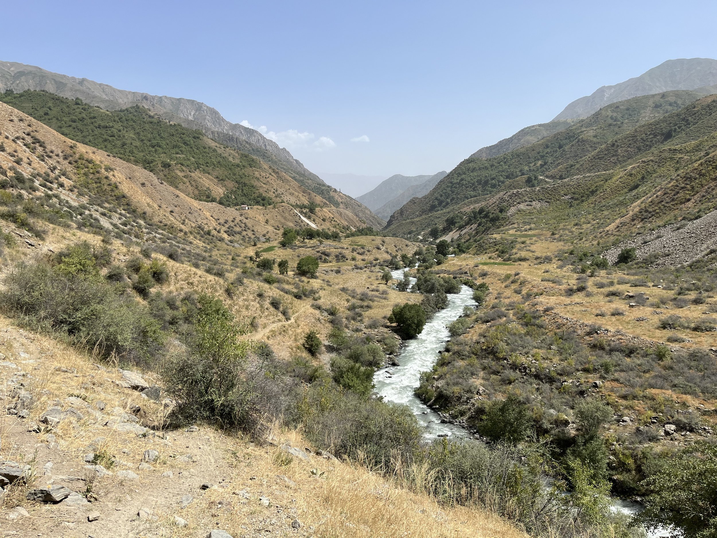
Looking into the Archamaydon Valley - pic C. Oriol
Stage 3: Tovasang - Zimtud
Distance: 22.7km
Ascent: 336m
Descent: 1171m
Trail: easy/moderate - dirt road and clear trail

Shepherd summer settlement near Igrok Pass
Stage 4: Zimtud - Camp Artuch
Distance: 13.1km
Ascent: 1240m
Descent: 619m
Trail: easy/moderate - dirt road and clear trail

Twisted juniper tree with Mirali Peak - pic: J. Bakker
Stage 5: Camp Artuch - Kuli Kalon
Distance: 5.3km
Ascent: 696m
Descent: 24m
Trail: moderate - clear trail

The upper lake of the Alauddin Lakes - pic: J. Bakker
Stage 6: Kuli Kalon - Alauddin
Distance: 10.9km
Ascent: 998m
Descent: 1026m
Trail: hard - clear and faded trails

The summit of Chimatarga, 5489m - pic: J. Bakker
Stage 7: Alauddin - Mutnyi
Distance: 5.1km
Ascent: 708m
Descent: 4m
Trail: easy - clear trails

The top of Chimatarga Pass at 4750m pic: C. Oriol
Stage 8: Mutnyi - Buzurg Alo
Distance: 13.2km
Ascent: 1227m
Descent: 1568m
Trail: hard - clear and faded trails

The Dugdon Range - pic: J. Bakker
Stage 9: Buzurg Alo - Archamaydon
Distance: 13.1km
Ascent: 147m
Descent: 1472m
Trail: moderate - dirt road and clear/faded trails

The stunning Archamaydon Valley - pic: C. Oriol
Stage 10: Archamaydon - Dugdon
Distance: 18.4km
Ascent: 1291m
Descent: 151m
Trail: moderate - mostly clear trails

The top of Dugdon Pass at 3810m - pic: C. Oriol
Stage 11: Dugdon - Saratoq
Distance: 20.8km
Ascent: 815m
Descent: 1454m
Trail: moderate/hard - clear and rough trails

Iskandarkul - pic: Eurasia.travel
Side trip: Saratoq - Iskandarkul
Distance: 11.4km return
Ascent: 332m
Descent: 332m
Trail: easy - dirt road and clear path
SECTION 2: HISOR TRAVERSE
Iskandarkul - Margheb * 180km * 13 stages * highest point Aghai Qul Pass 3851m * tour operators *

Lush meadows towards Mura/Zombar - pic:J. Bakker
Stage 12: Saratoq - Zombar
Distance: 12.1km
Ascent: 793m
Descent: 131m
Trail: moderate - dirt track and mostly clear trails

Top of Mura/Zombar Pass at 3780m - pic: C. Oriol
Stage 13: Zombar - Qaratogh
Distance: 13.7km
Ascent: 765m
Descent: 1683m
Trail: hard - clear and rough/no trails

Qaratogh Valley - pic: J. Bakker
Stage 14: Qaratogh - Payron
Distance: 17.7km
Ascent: 1042m
Descent: 461m
Trail: easy/moderate - clear path, some exposure

View of Payron Valley from Khonaqo - pic: J. Bakker
Stage 15: Payron - Khonaqo
Distance: 11.1km
Ascent: 1163m
Descent: 640m
Trail: hard - vague or no trails across pass

The Khonaqo Valley is spiky! - pic: J. Bakker
Stage 16: Khonaqo - Luchob
Distance: 12.3km
Ascent: 750m
Descent: 1855m
Trail: moderate/hard - clear and rough/no trails

Semi-wild horses on the Luchob pass - pic: J. Bakker
Stage 17: Luchob - Khoja Obi Garm
Distance: 16.6km
Ascent: 752m
Descent: 991m
Trail: easy - clear path

Crossing the Darai Kulol River - pic: J. Bakker
Stage 18: Khoja Obi Garm - Darai Kulol
Distance: 11km
Ascent: 440m
Descent: 537m
Trail: easy/moderate - road and clear/rough trails

The upper Darai Kulol Valley - pic: J. Bakker
Stage 19: Darai Kulol - Soghdiana
Distance: 11.9km
Ascent: 1606m
Descent: 533m
Trail: hard - rough steep and vague trails

Approach of the Dushokha Pass - pic: J. Bakker
Stage 20: Soghdiana - Ganjdara
Distance: 11.5km
Ascent: 1373m
Descent: 1261m
Trail: very hard - rough, steep trails and no trails

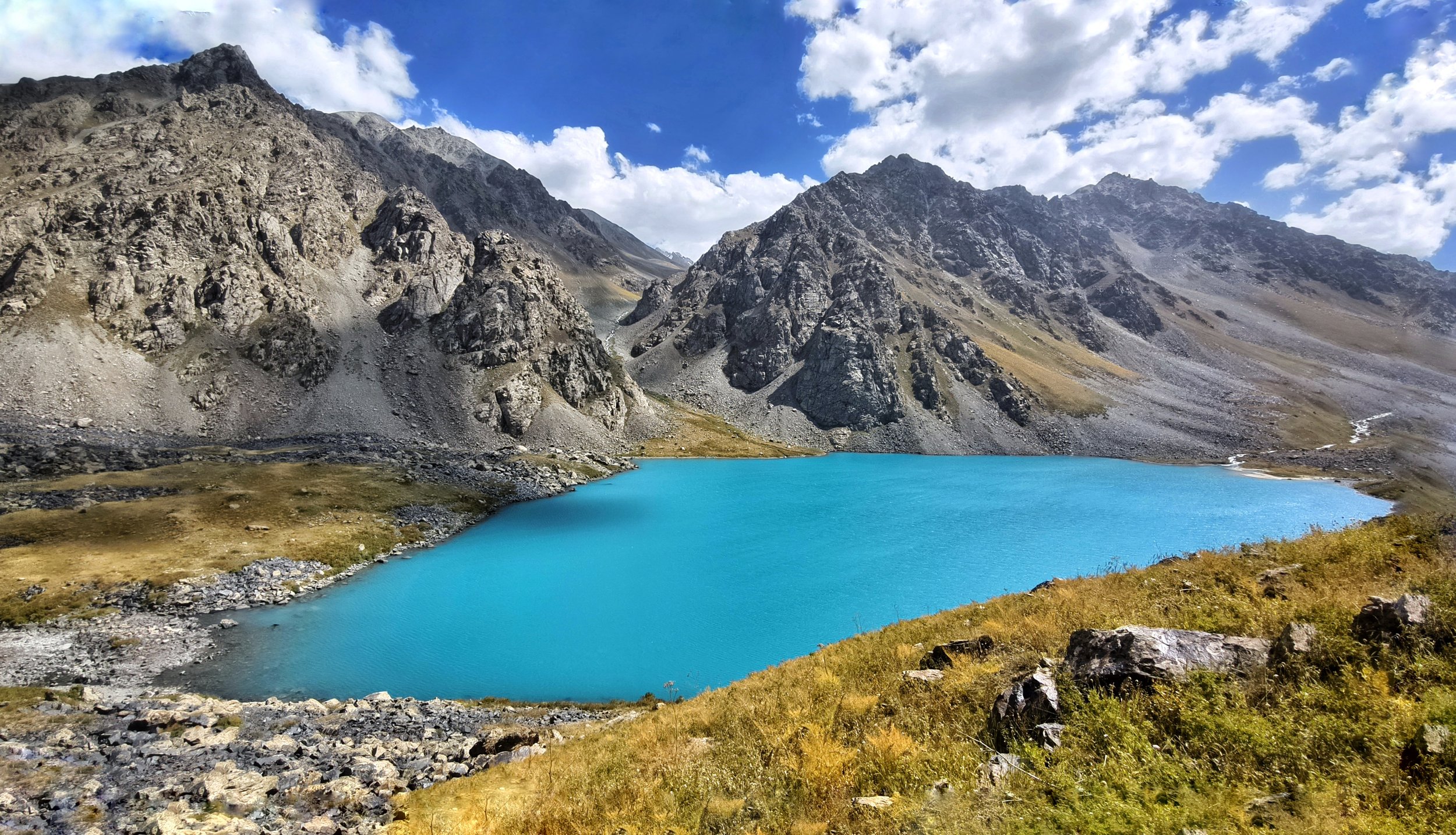
Lolakul Lakes - pic: C. Oriol
Stage 21: Ganjdara - Lolakul
Distance: 18.3km
Ascent: 1159m
Descent: 757m
Trail: moderate - clear and some vague trails
The Tagobiqul Valley - pic: C. Oriol
Stage 22: Lolakul - Tagobiqul
Distance: 18.2km
Ascent: 559m
Descent: 1367m
Trail: moderate/hard - snow fields and variable trail

Sheep shearing near Qul Pass - pic: J. Bakker
Stage 23: Tagobiqul - Tagrich
Distance: 12.4km
Ascent: 1069m
Descent: 637m
Trail: easy/moderate - clear trail

Chilling out on the Tagrich Pass - pic: J. Bakker
Stage 24: Tagrich - Margheb
Distance: 16.6km
Ascent: 940m
Descent: 1508m
Trail: easy - clear trails and dirt track
SECTION 3: YAGHNOB AND ZARAFSHON
Margheb - Langar * 113.5km * 7 stages * highest point Ghuzn Pass 4020m * overview map * tour operators * GPX file

The north side of Zamin Qaror - pic: J. Bakker
Stage 25: Margheb - Bidev - map
Distance: 20.5km
Ascent: 960m
Descent: 690m
Trail: easy - dirt track and clear trail

Abandoned Niva, Piskon village - pic: J. Bakker

The glorious Yaghnob Valley- pic: J. Bakker
Stage 27: Piskon - Novobod - map
Distance: 17km
Ascent: 640m
Descent: 510m
Trail: moderate - variable trails

A glacier on the Ghuzn Pass
Stage 28: Novobod - Jayi Bolo - map
Distance: 10km
Ascent: 1405m
Descent: 980m
Trail: hard - rough trails

On top of a 3885m Pass to Revut
Stage 29: Jayi Bolo - Marghashak map
Distance: 18km
Ascent: 950m
Descent: 935m
Trail: easy/moderate - clear track and trail

The upper part of the Revut Valley
Stage 30: Marghashak - Sangi Ghul map
Distance: 12km
Ascent: 815m
Descent: 1305m
Trail: moderate - variable trails

The lower Revut Valley
Stage 31: Sangi Ghul - Langar - map
Distance: 24km
Ascent: 640m
Descent: 1150m
Trail: easy - clear track and trail
SECTION 4: UPPER ZARAFSHON AND RASHT
Langar - Dehai Hojiali * 122km * 7 stages * highest point Beob Pass 4030m * overview map * tour operators * GPX file

The Zarafshon Valley
Stage 32: Langar - Pakshif - map
Distance: 36km
Ascent: 1000m
Descent: 720m
Trail: easy - track and clear trails
Pakshif Gorge
Stage 33: Pakshif - Pakshif Gorge map
Distance: 9km
Ascent: 550m
Descent: 0m
Trail: easy/moderate - clear trail

Ghorif Village
Stage 34: Pakshif Gorge - Ghorif - map
Distance: 17km
Ascent: 790m
Descent: 1635m
Trail: moderate - clear and vague trails
Namnarud ruins
Stage 35: Ghorif - Namnarud - map
Distance: 8km
Ascent: 195m
Descent: 375m
Trail: hard - vague overgrown trails

Looking north from Beob Pass
Stage 36: Namnarud - Beob - map
Distance: 11km
Ascent: 2095m
Descent: 305m
Trail: very hard - no trail, overgrown terrain
Darai Mazor
Stage 37: Beob - Navobod - map
Distance: 23km
Ascent: 180m
Descent: 2635m
Trail: moderate - clear and vague trails, track

Sangikar River
Stage X1: Navobod - Hojiali - map
Distance: 18km
Ascent: 260m
Descent: 210m
Trail: easy - Track and road
SECTION 5: QAROTEGIN TRAVERSE
Dehai Hojiali - Jirgatol * 107km * 6 stages * highest point Pildon Pass 3654m * overview map * tour operators * GPX file

Praying Mantis in the Kamarob Valley - pic: J. Bigé

A Soviet era snow measuring device - pic: J. Bigé
Stage 39: Subotrud - Hazorchashma - map
Distance: 11km
Ascent: 1080m
Descent: 170m
Trail: easy/moderate - clear to vague trail

View from the Dashtikhirsun Pass - pic: J. Bigé
Stage 40: Hazorchashma - Safedob - map
Distance: 19km
Ascent: 710m
Descent: 1560m
Trail: moderate/hard - variable to no trails

A bridge near Hoit - pic: J. Bigé

High plateau around Pildon Jailoo - pic: J. Bigé

Shepherd house near Pildon Pass - pic: J. Bigé
Stage 43: Pildon - Vahdat/Jirgatol - map
Distance: 20km
Ascent: 420m
Descent: 2060m
Trail: moderate - variable trails and clear track
SECTION 6A: RASHT TO DARVOZ - LOW ROUTE
Vahdat (Jirgatol) - Qalai Khumb * 147km * 8 stages * highest point Psoda Pass 3850m * overview map * tour operators * GPX file

Looking back to the Rasht Valley - pic: C. Oriol
Stage 44: Vahdat (Jirgatol) - Dashti Murghon - map
Distance: 14.5km
Ascent: 715m
Descent: 135m
Trail: easy - road, clear track

Along the red Qaroshura River - pic: C. Oriol
Stage 45: Dashti Murghon - Vayzirek - map
Distance: 19km
Ascent: 815m
Descent: 355m
Trail: easy - clear track and trails

Landmine sign, check stage info! - pic: C. Oriol
Stage 46: Vayzirek - Puli Sangin - map
Distance: 17km
Ascent: 665m
Descent: 620m
Trail: moderate - variable trails

Approach to Gardani Kaftar Pass - pic: C. Oriol
Stage 47: Puli Sangin - Langar - map
Distance: 22km
Ascent: 995m
Descent: 1790m
Trail: hard - variable trails
Psoda Lake - pic: M. Merisi
Stage 48A: Langar - Psoda - map
Distance: 19.5km
Ascent: 1190m
Descent: 270m
Trail: moderate - road and clear trails

Looking back from Psoda Pass - pic: M. Merisi
Stage 49A: Psoda - Siyohdara - map
Distance: 10.5km
Ascent: 980m
Descent: 840m
Trail: hard - vague or no trails

Along the Siyohdara river - pic: M. Merisi
Stage 50A: Siyohdara - Gshun - map
Distance: 18km
Ascent: 370m
Descent: 1220m
Trail: moderate/hard - variable trails

Back in habitation - pic: M. Merisi
Stage 51A: Gshun - Qalai Khumb - map
Distance: 24.5km
Ascent: 105m
Descent: 1215m
Trail: easy - dirt track and rough road
———————————————————————————-
Section 6A is designed to be an easier, safer and lower route between the Rasht and Darvoz Districts across the 3850m high Psoda Pass. For now it ends in Qalai Khumb, but the Pamir Trail team is working on the extension between Qalai Khumb and Vanj. For now, the only feasible way to reach Vanj and continue the Pamir Trail is to get transport between the places. If you’re a purist you could hike the roughly 100km but it is very unpleasant and with the traffic sometimes even dangerous. We’re trying to find an efficient way to help you finding a car, as shared taxis and mini-busses are unreliable on this stretch of the Pamir Highway. Get in touch for advice.
———————————————————————————-
SECTION 6B: RASHT TO DARVOZ - HIGH ROUTE
Vahdat (Jirgatol) - Vanj * 208km * 12 stages * highest point Starghi Pass 4473m * overview map * tour operators * GPX file
Looking back to the Rasht Valley - pic: C. Oriol
Stage 44: Vahdat (Jirgatol) - Dashti Murghon - map
Distance: 14.5km
Ascent: 715m
Descent: 135m
Trail: easy - road, clear track
Along the red Qaroshura River - pic: C. Oriol
Stage 45: Dashti Murghon - Vayzirek - map
Distance: 19km
Ascent: 815m
Descent: 355m
Trail: easy - clear track and trails
Landmine sign, check stage info! - pic: C. Oriol
Stage 46: Vayzirek - Puli Sangin - map
Distance: 17km
Ascent: 665m
Descent: 620m
Trail: moderate - variable trails
Approach to Gardani Kaftar Pass - pic: C. Oriol
Stage 47: Puli Sangin - Langar - map
Distance: 22km
Ascent: 995m
Descent: 1790m
Trail: hard - variable trails

Small stretch of road near Langar - pic: J. Bakker
Stage 48B: Langar - Sangoba - map
Distance: 12.5km
Ascent: 1180m
Descent: 130m
Trail: moderate - clear trails

Satellite image Vereshkay Pass 3970m - pic: FATMAP
Stage 49B: Sangoba - Rogha - map
Distance: 17km
Ascent: 830m
Descent: 1515m
Trail: hard - vague or no trails
-WARNING: STAGES 50 - 54 HAVE BEEN TESTED, BUT IT PROVED TO BE VERY HARD. EXPECT ROUTE SECTIONS WITHOUT TRAIL, OVERGROWN TERRAIN AND DEEP FAST-FLOWING RIVERS. WE ADVICE TO DO THIS PART OF THE PAMIR TRAIL FROM THE FIRST WEEK OF SEPTEMBER, NOT EARLIER AS SOME RIVERS ARE LIKELY TO BE IMPASSABLE. WE AIM TO IMPROVE / ADD INFRASTRUCTURE TO OVERCOME THESE NATURAL BOUNDARIES.-

Upper Khingov Valley - pic: J. Bakker
Stage 50B: Rogha - Bijou - map
Distance: 12km
Ascent: 310m
Descent: 220m
Trail: easy/moderate - clear track and vague trails

Looking back to Batrud / Khingov - pic: Lottie GD
Stage 51B: Bijou - Rovak - map
Distance: 14km
Ascent: 420m*
Descent: 200m*
Trail: hard - clear, vague and sometimes no trails

View across Dashti Burs - pic: Lottie GD
Stage 52B: Rovak - Sagdar - map
Distance: 13km
Ascent: 690m*
Descent: 300m*
Trail: very hard - no trails

The Tagargob/Obistarghi Valley - pic: Lottie GD
Stage 53B: Sagdar - Tagargob - map
Distance: 8km
Ascent: 750m*
Descent: 200m*
Trail: very hard - no trails

Crossing the Starghi Pass - pic: Lottie GD
Stage 54B: Tagargob - Stargh - map
Distance: 15km
Ascent: 775m
Descent: 2315m
Trail: very hard - glacier, various or no trails

Aerial view into the Vanj Valley - pic: J. Bakker
SECTION 7: VANJ AND YAZGHULOM
Vanj - Nisur * 212km * 9 stages * highest point Odudi Pass 4450m * GPX file *

Below the Gushkhun Pass - pic: M. Merisi
Stage 56: Vanj - Gushkhun - map
Distance: 10.5km
Ascent: 2155m
Descent: 35m
Trail: moderate/hard - variable trails

Tricky descent to Zhamag- pic: M. Merisi
Stage 57: Gushkhun - Zhamag - map
Distance: 10.5km
Ascent: 495m
Descent: 2395m
Trail: very hard - variable and no trails

Easy road hike in Yazghulom Valley - pic: M. Merisi
Stage 58: Zhamag - Motravn - map
Distance: 17.5km
Ascent: 245m
Descent: 505m
Trail: easy - track / road

Crossing the river Darai Motravn - pic: D. Hardwick
Stage 59: Motravn - Khanil - map
Distance: 11.5km
Ascent: 1265m
Descent: 0m
Trail: easy / moderate - clear trails

Crossing the Odudi Pass 4450m - pic: E. Huisman
Stage 60: Khanil - Vamardara - map
Distance: 14km
Ascent: 1545m
Descent: 875m
Trail: hard - variable and no trails

Amazing descent to Rushon - pic: J. Bakker
Stage 61: Vamardara - Rushon - map
Distance: 13.5km
Ascent: 20m
Descent: 1620m
Trail: easy - clear trail

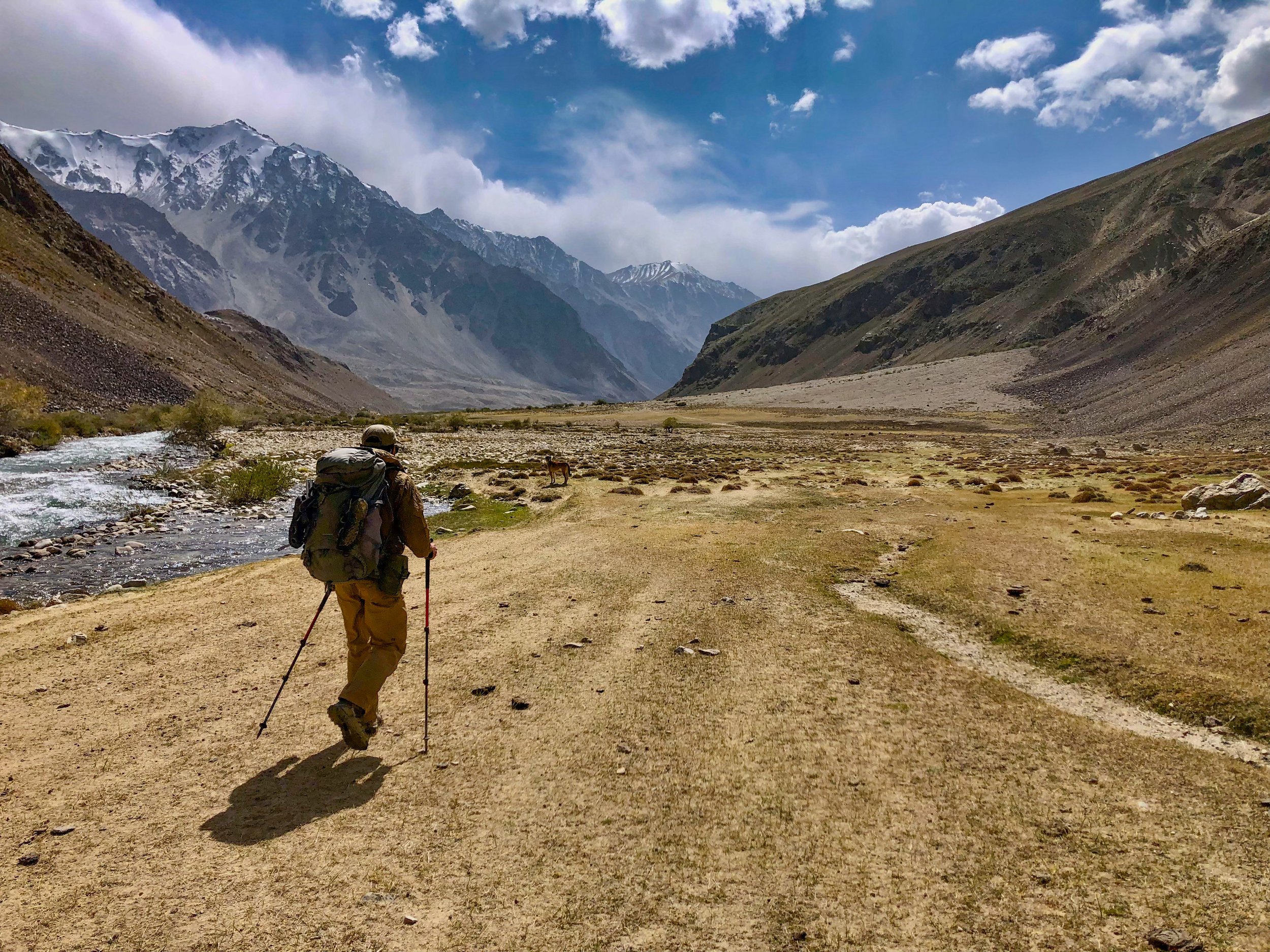
Hiking along the Bartang river - pic: J. Bakker

Easy hiking in the Bartang Valley - pic: J. Bakker

Not bad for a road hike! - pic: J. Bakker
SECTION 8: RUSHON
Nisur - Bachor * 91km * 6 stages * highest point Zaroshkul 4510m * overview map * tour operators * GPX file

Barchidev from above - pic: J. Bakker

Crossing the Marghob River - pic: J. Bakker
Stage 66: Barchidev - Sarez - map
Distance: 19.5km
Ascent: 1580m
Descent: 940m
Trail: moderate/hard - variable trails

Hiking up the Langar Valley - pic: J. Bakker

The splendid Zaroshkul - pic: J. Bakker
Stage 68: Langar - Zaroshkul - map
Distance: 17km
Ascent: 810m
Descent: 75m
Trail: moderate - clear trails

Approaching the turquoise Taskilkul - pic: J. Bakker
Stage 69: Zaroshkul - Kafkrud - map
Distance: 16km
Ascent: 270m
Descent: 1090m
Trail: moderate/hard - variable trails
Heading down to Bachor - pic: J. Bakker
SECTION 9: SHUGHON AND SHAKHDARA
Bachor - Vrang * 118km * 8 stages * highest point Vrang Pass 5010m * overview map 1 * overview map 2 * tour operators * GPX file

The Ghund Valley - pic: J. Bakker
Stage 71: Bachor - Duzakhdara - map
Distance: 26.5km
Ascent: 230m
Descent: 340m
Trail: easy - clear track and road

Hiking up the Duzakhdara Valley - pic: J. Bakker
Stage 72: Duzakhdara Valley - map
Distance: 11km
Ascent: 885m
Descent: 95m
Trail: moderate - variable trails

Views from the Duzakhdara Pass - pic: J. Bakker
Stage 73: South Duzakhdara - map
Distance: 14km
Ascent: 400m
Descent: 415m
Trail: easy - mostly clear trails

The valley towards Shakhdara - pic: J. Bakker

A gorge near Rubot village - pic: J. Bakker
Stage 75: Rubot - Vrang River - map
Distance: 13km
Ascent: 660m
Descent: 45m
Trail: easy - clear track and trails

View towards the Vrang Pass - pic: J. Bakker
Stage 76: Vrang River - Vrang Lakes - map
Distance: 6km
Ascent: 395m
Descent: 15m
Trail: moderate - variable trails

Steep descent after the Vrang Pass - pic: J. Bakker
Stage 77: Vrang Lakes - Vnukut - map
Distance: 17km
Ascent: 710m
Descent: 1140m
Trail: very hard - vague or no trail, exposed terrain

Exposed terrain, lower Vnukut Valley - pic: J. Bakker
Stage 78: Vnukut - Vrang - map
Distance: 10.5km
Ascent: 160m
Descent: 1250m
Trail: hard - variable trails, exposed terrain